Not Just Satellite-Driven Insights, But True Business Intelligence
At ST Engineering Geo-Insights, we provide geospatial solutions to meet the growing global demand for actionable insights.
We are committed to empowering customers in the agriculture, maritime, sustainability, and insurance sectors to make data-driven decisions, keeping their businesses ahead of the curve.
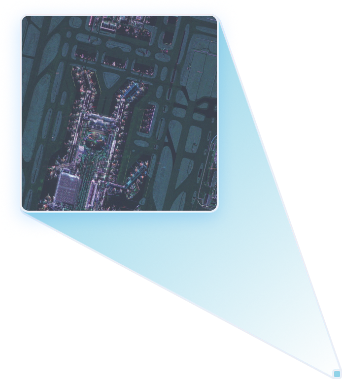
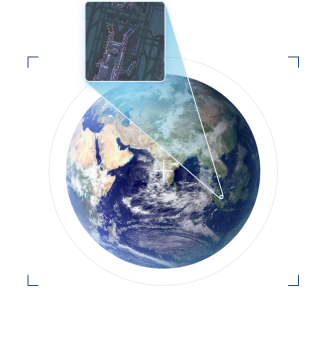
Our constellation of satellites provides seamless access to the planet’s equatorial regions, harnessing the capabilities of high-resolution, high-revisit, and high-capacity Optical and Synthetic Aperture Radar (SAR) imagery products.
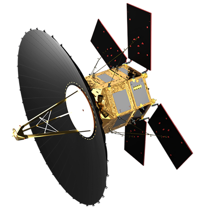
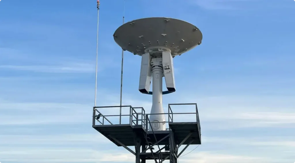
Captures high resolution all-weather day-and-night imaging
Offers 1m high-resolution imagery
TeLEOS-2
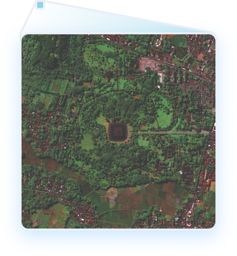
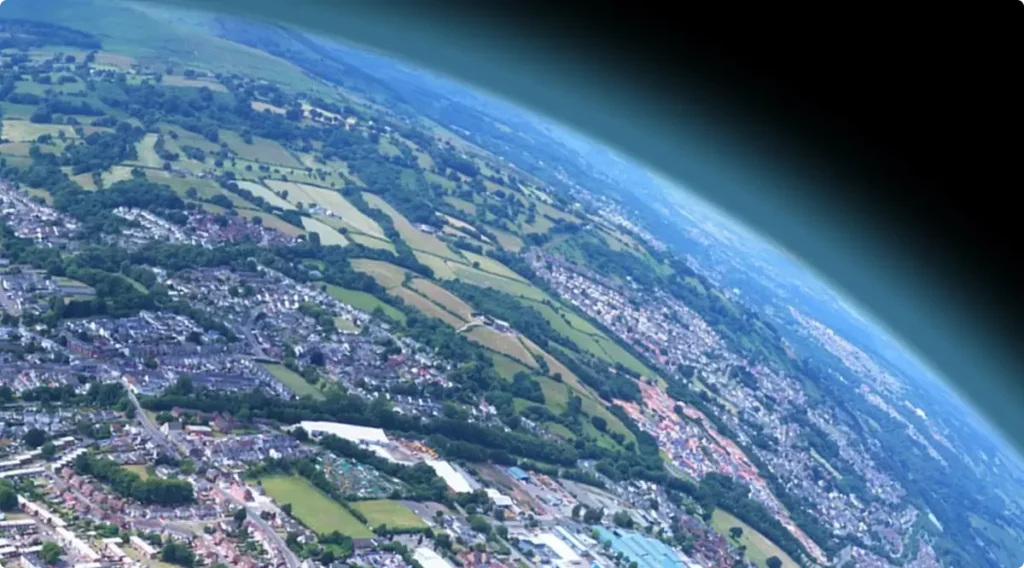
View the World Through Our Lens
Our constellation of satellites provides seamless access to the planet’s equatorial regions, harnessing the capabilities of high-resolution, high-revisit, and high-capacity Optical and Synthetic Aperture Radar (SAR) imagery products.
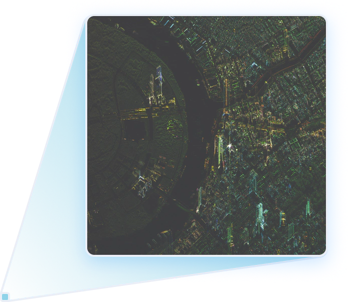
Our constellation of satellites provides seamless access to the planet’s equatorial regions, harnessing the capabilities of high-resolution, high-revisit, and high-capacity Optical and Synthetic Aperture Radar (SAR) imagery products.
Captures high resolution all-weather day-and-night imaging
Offers 1m high-resolution imagery
TeLEOS-2
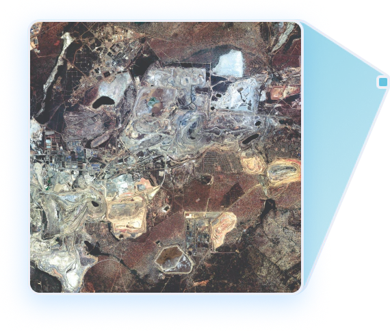
View the World Through Our Lens
Our constellation of satellites provides seamless access to the planet’s equatorial regions, harnessing the capabilities of high-resolution, high-revisit, and high-capacity Optical and Synthetic Aperture Radar (SAR) imagery products.
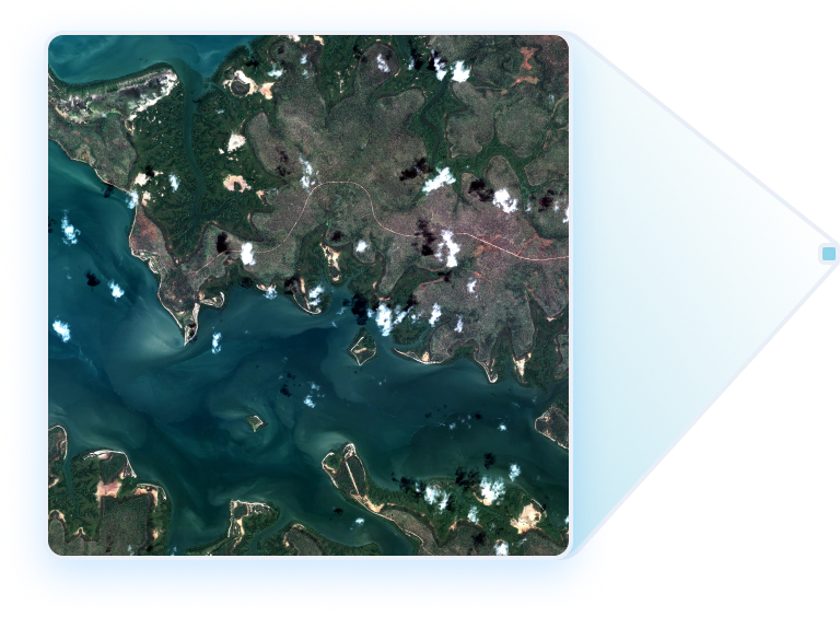
Our constellation of satellites provides seamless access to the planet’s equatorial regions, harnessing the capabilities of high-resolution, high-revisit, and high-capacity Optical and Synthetic Aperture Radar (SAR) imagery products.
Captures high resolution all-weather day-and-night imaging
Offers 1m high-resolution imagery
TeLEOS-2
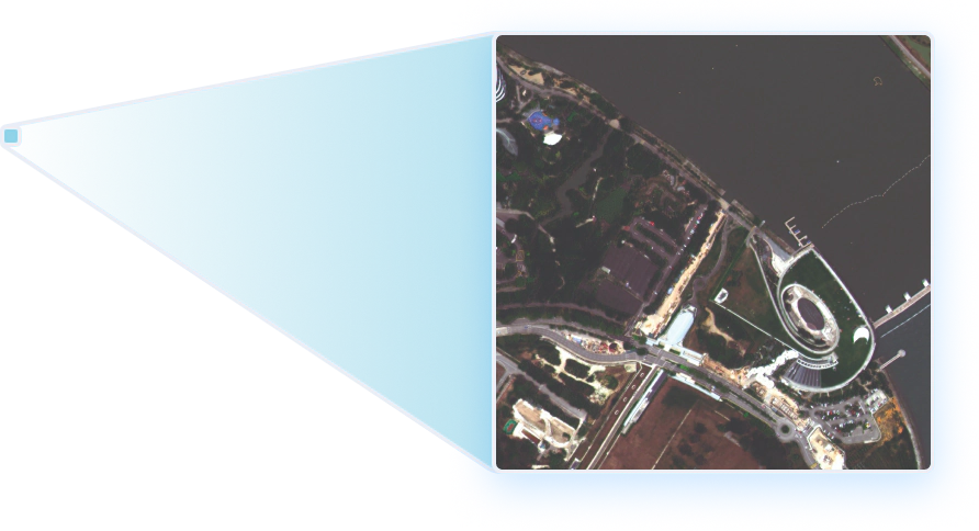
View the World through Our Lens
Our constellation of satellites provides seamless access to the planet’s equatorial regions, harnessing the capabilities of high-resolution, high-revisit, and high-capacity Optical and Synthetic Aperture Radar (SAR) imagery products.
Earthsurance is a climate monitoring solution that leverages geospatial data from space-based systems to track carbon activity to support climate goals, sustainability reporting, and regulatory compliance.
Refine agriculture practices and optimise harvests more reliably with AgXellence, a plantation health monitoring service powered by advanced satellite-based estimations.
ST Engineering Geo-Insights' end-to-end solutions are designed to efficiently receive, process, and analyze satellite data, simplifying the understanding of Earth for everyone.