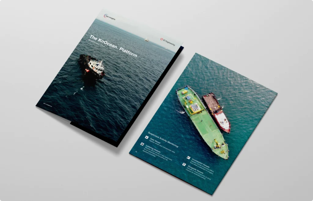
Explore KnOcean, our multi-modal platform for maritime domain awareness and surveillance.
Identify and address suspicious or unauthorized activities to proactively mitigate risks and swiftly respond to potential safety and security threats.
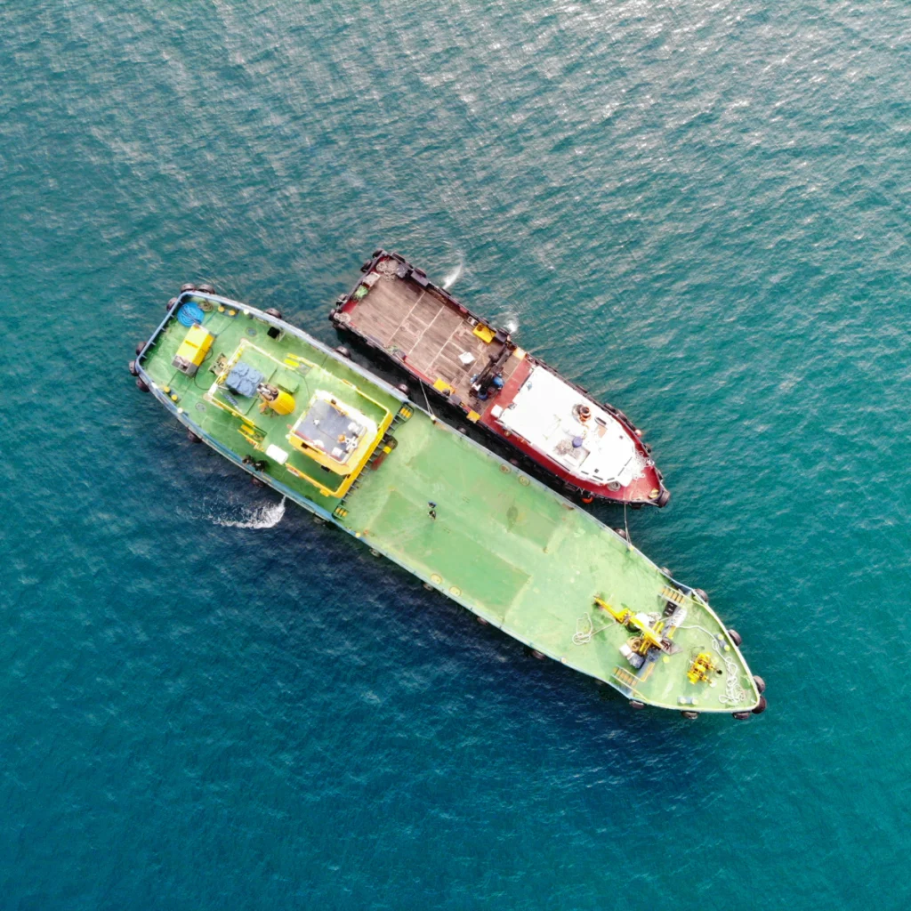
Leverage satellite imagery and AIS analytics for accelerated response times and enhanced operational performance.
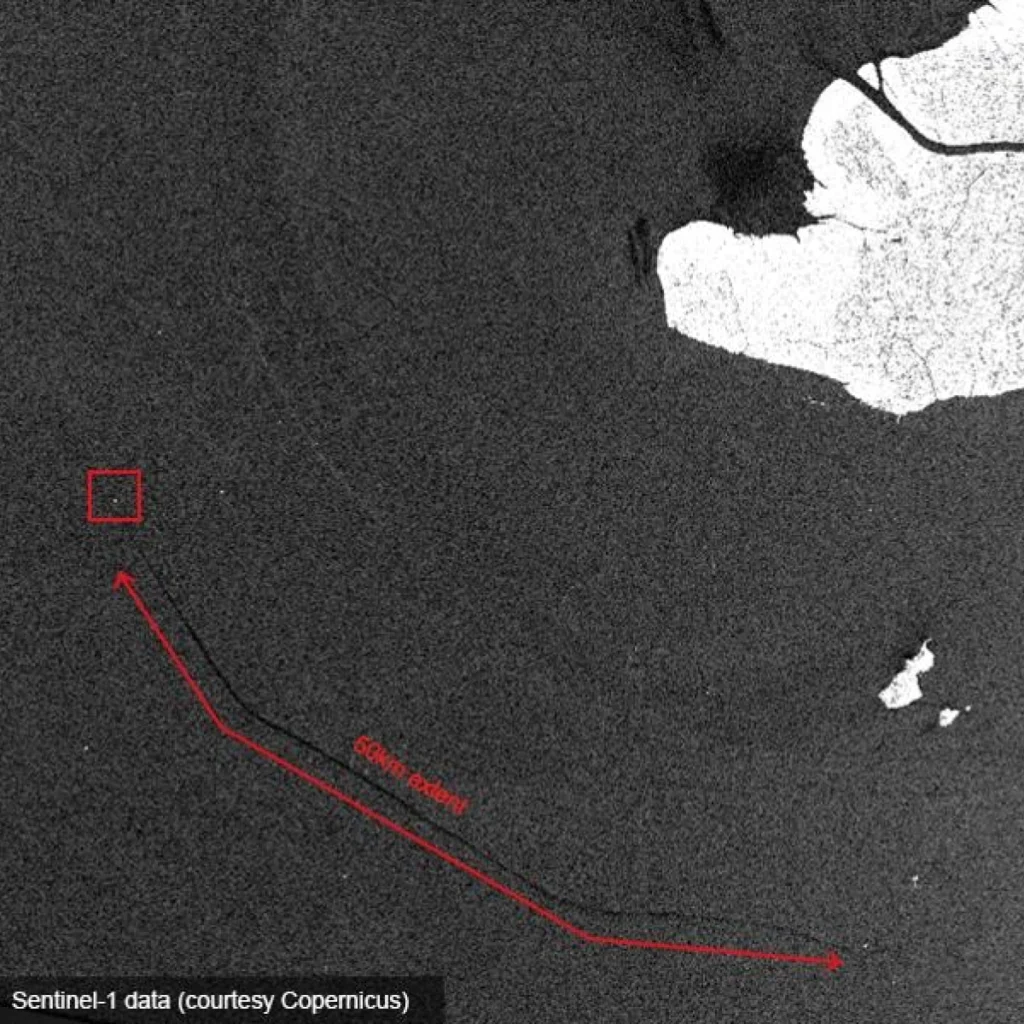
Monitor maritime anomalies in real-time to promptly detect environmental hazards such as oil spills and combat illegal, unreported, and unregulated (IUU) fishing activities.
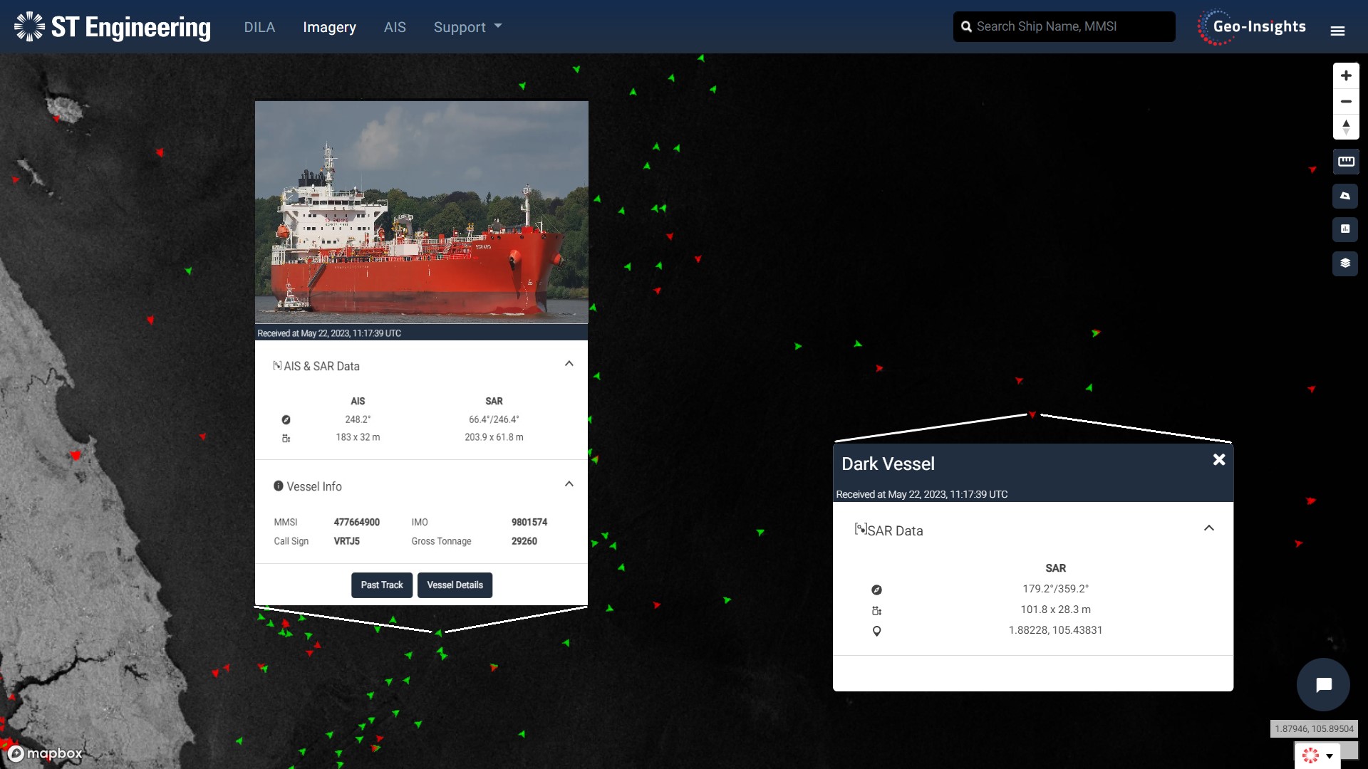
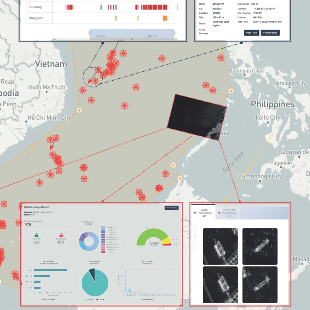
Receive near real-time reports on Dark, Inconsistent, Loitering and Alongside (DILA) vessels on a map, with up to 6 months of historical insights.
Define your Area of Interest and obtain satellite imagery that can be overlaid on maps, and even access details on specific vessel types, sizes or countries of origin.
The risk analysis and reporting features in KnOcean allows for the export of customizable reports to your workspace, providing insights into potential target vessels in the maritime domain.
