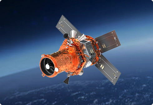
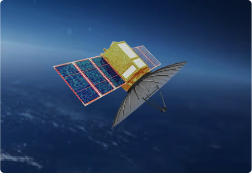
Our Constellation

Harness our advanced satellite network to access high-quality geospatial imagery.

Explore Our Constellation

The Near Equatorial Orbit (NEqO) Constellation

ST Engineering Geo-Insights Pte. Ltd. is the exclusive provider of satellite imagery and data analytics services for these NEqO constellation satellites; TeLEOS-1, TeLEOS-2, NeuSAR, 

DS-EO & DS-SAR.

The NEqO Multi-Modal Imaging Constellation will allow clients to image the equatorial region utilizing high revisit and high-resolution Optical and SAR satellites.

Previous slide
Next slide

DS-EO

In a collaborative effort, ST Engineering and the Defence Science and Technology Agency (DSTA) have jointly acquired DS-EO from Satrec Initiative which was launched on 30 June 2022.

The satellite carries an optical multi-spectral payload with up to 50cm imaging resolution capability. Operating at an orbit inclination of 10 degrees, DS-EO provides up to 6 daylight imaging opportunities in the equatorial region.

NeuSAR

Designed and developed by DSO National Laboratories (DSO) and operated by ST Engineering along with local space research partners and international industry partners, NeuSAR is supported by Singapore’s national space office, the Office for Space Technology & Industry, Singapore (OSTIn).

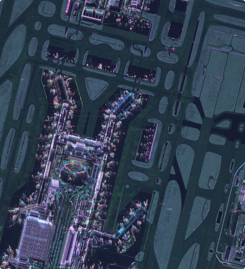
Launched on 30 June 2022, NeuSAR Is part of Singapore’s Near Equatorial Orbit Constellation and the World’s first fully polarimetric small Synthetic Aperture Radar (SAR) satellite offering all-weather day-and-night imaging with up to 2m high resolution, capturing insights in the equatorial region.

Previous slide
Next slide
Previous slide
Next slide

TeLEOS-1

ST Engineering launched its first commercial earth observation satellite, TeLEOS-1 into Near Equatorial Orbit (NEqO) on 16 December 2015. The satellite is aimed at providing high temporal imagery and geospatial solutions for homeland security and border control; maritime monitoring and disaster management around the equatorial belt. 


Equipped with an electro-optical camera payload that is capable of performing imaging at ground resolution of down to one meter.

TeLEOS-2

Developed in partnership with Singapore’s Defence Science and Technology Agency (on behalf of Government of Singapore), TeLEOS-2 was launched on 22 April 2023.

The satellite features a made-in-Singapore polarimetric synthetic aperture radar (PolSAR) satellite, and is able to capture both day and night images under all-weather conditions in high resolutions, offering 1m high-resolution imagery with an average of 14 passes a day.

Previous slide
Next slide
Previous slide
Next slide

DS-SAR

The DS-SAR satellite was launched on 30 July 2023 and is developed under a partnership between DSTA (representing the Government of Singapore) and ST Engineering.


DS-SAR carries a Synthetic Aperture Radar (SAR) imaging payload capable of capturing images under all weather conditions, and collecting imaging at 1m-resolution at full polarimetry.

Discover New Potential With Our Advanced Satellites