Data Marketplace

Multi-modal, multi-source geospatial analytics to support powerful decision-making.
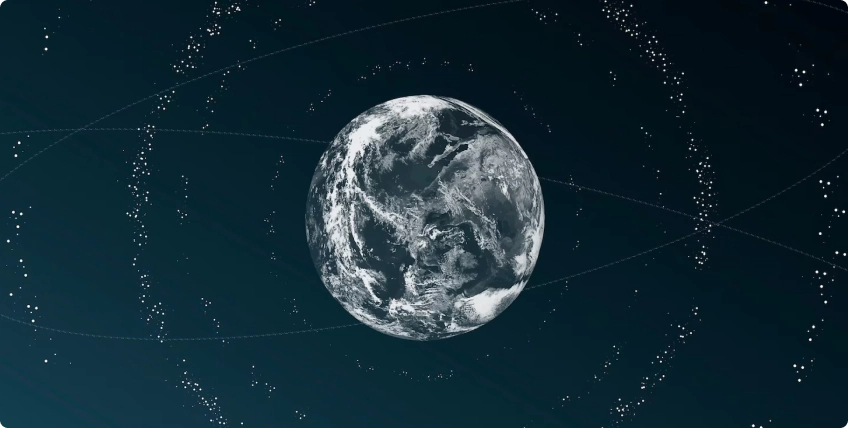
Unlock New possibilities with satellite Data and insights

End-to-End Solutions

Our tailored solutions cater to diverse applications, simplifying the entire workflow from data acquisition to actionable insights.
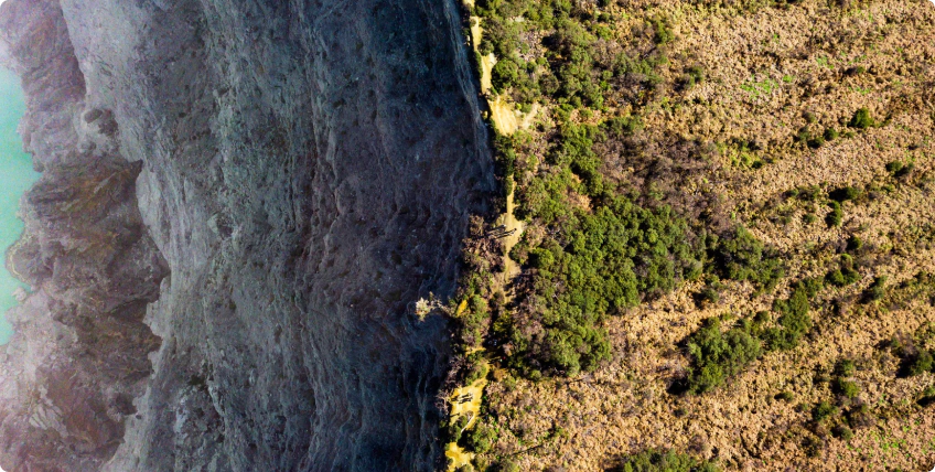
High Resolution Imagery

Multi-sensor satellites capturing complementary High resolution Synthetic Aperture Radar (SAR) and Electro-Optical (EO) imagery.
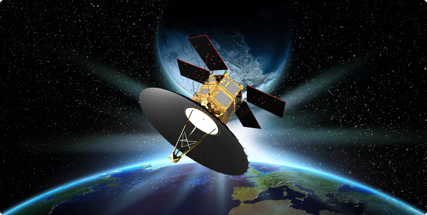
Rapid Revisit

Ensures timely decision-making to support time-critical operations with daily revisits.

Eyes in the Sky

A comprehensive process that simplifies the acquisition and tasking of satellite data.

Location

Request your specific Area of Interest (AOI) to meet your precise requirements.

Resolution

Access high quality imagery, from existing archived data, new tasking requests, to commercial data distributed by our satellite partners.

Frequency

Contact us for a feasibility study to determine the optimal revisit frequency.

Our Constellation of Satellites

Our advanced network of satellites are designed to help you achieve your goals and find the solutions you need. 


View the world through our lens.

Filter - Satellites

TeLEOS-1

Fast revisiting equatorial satellite, providing 1m resolution panchromatic images

TeLEOS-2

Providing 1m resolution SAR imagery

NeuSAR

High resolution polarimetric synthetic aperture radar imaging at 2m

DS-EO

Multi-spectral satellite offering 0.5m resolution

DS-SAR

Providing 1m resolution SAR imagery

KNIGHT

50cm resolution true color video and imagery

NeuSAR2

High revisit equatorial SAR satellite with best in class features.

Business Intelligence Insights

Our bespoke portfolio spans across industries, to support your operations. Partner with us to discover the ideal application that aligns with your business goals.

Precision Agriculture

Maritime Surveillance

Carbon Market Solutions

Disaster Mitigation

Forestry Management

Mapping and infrastructure planning

Drive Sustainable Growth With Leading Edge Geospatial Data