Extensive portfolio of products and tailored services.
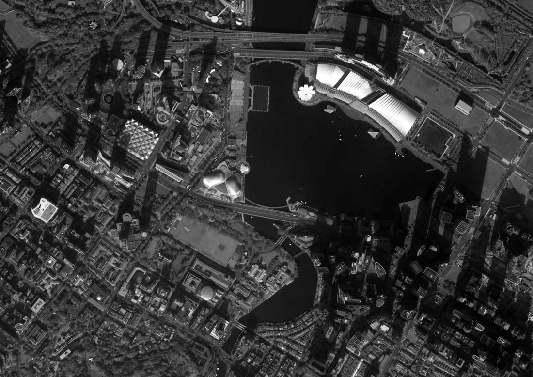
Our Virtual Constellation contains a variety of sensors, with resolutions that make them suitable for many different applications.
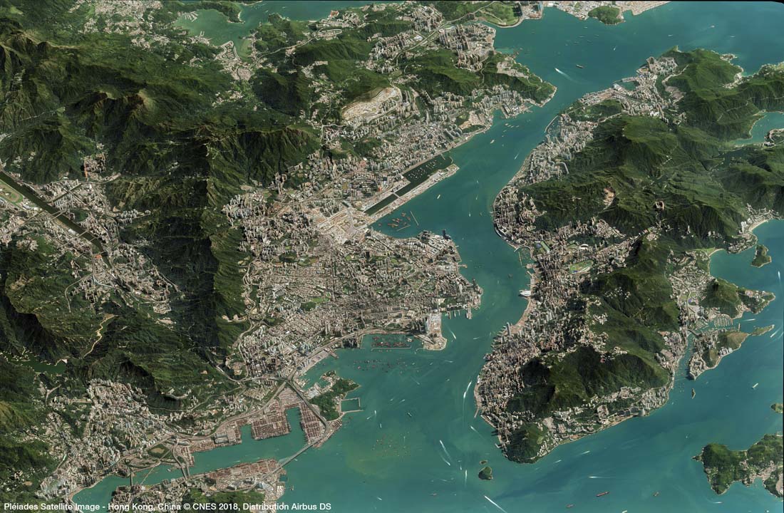
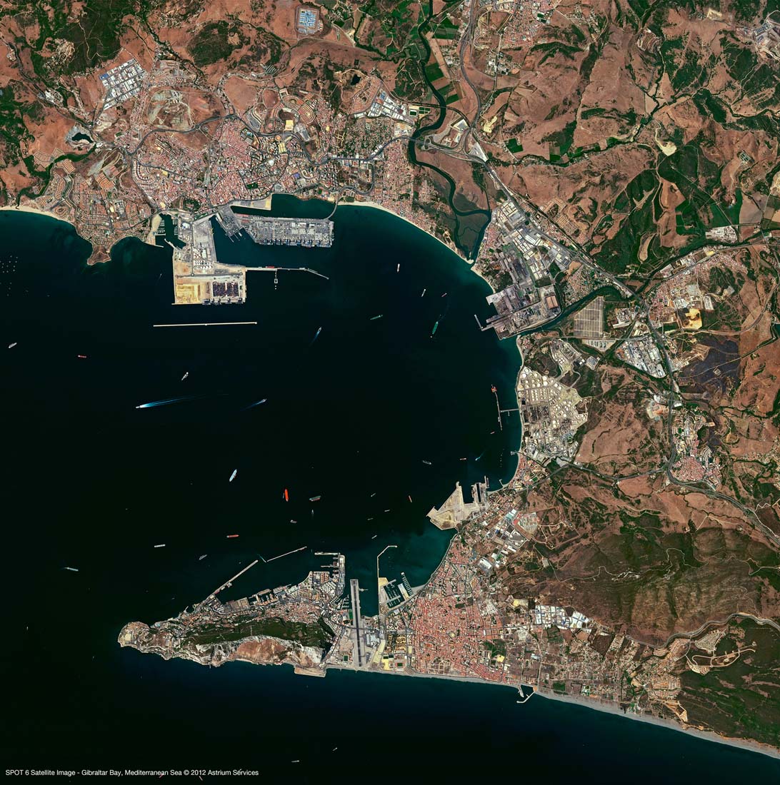
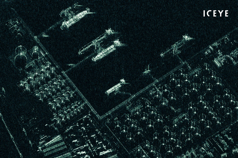
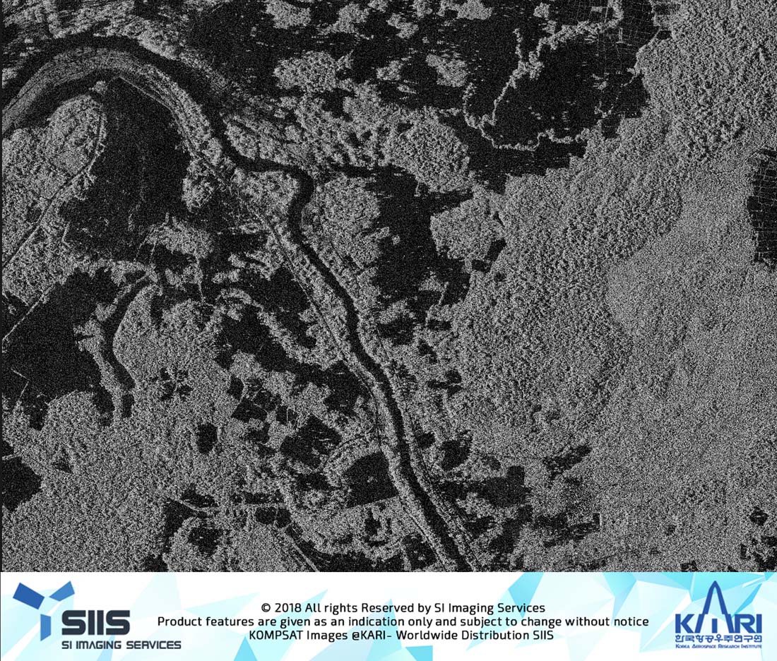
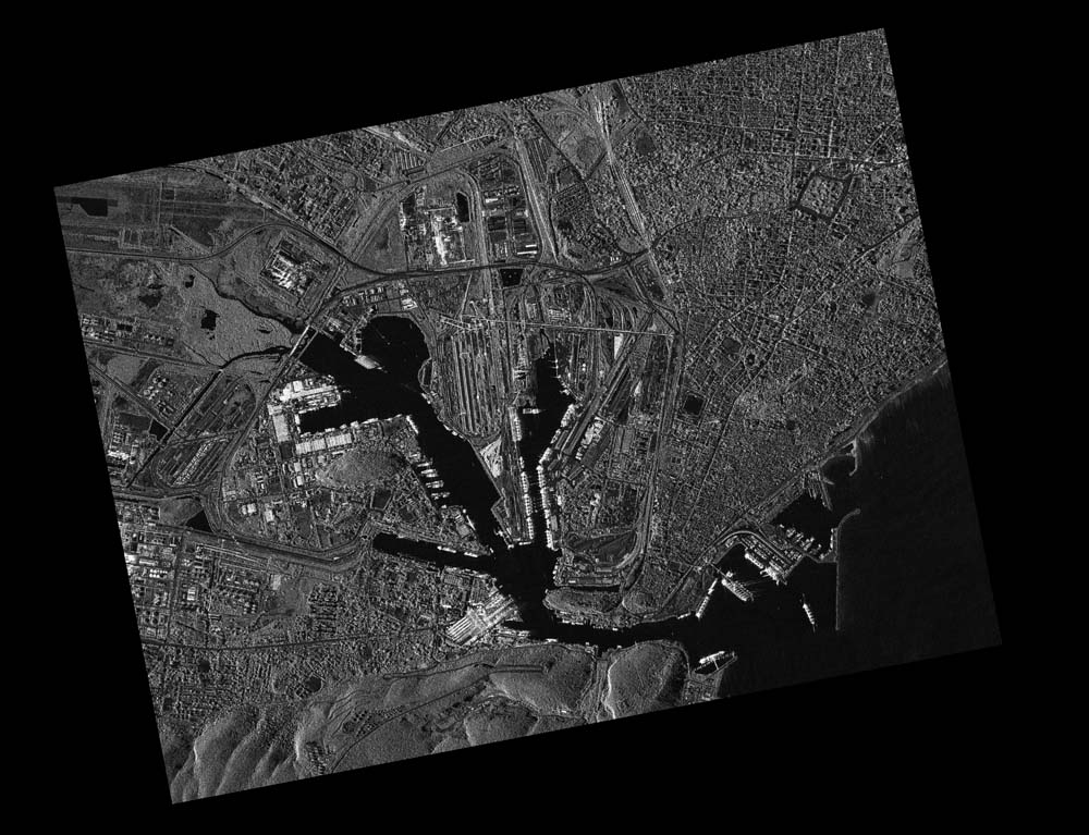
Best-in-class imagery.
Our quality validation team process all our imagery ensuring that the images you get are analytics-ready, consistent and as accurate as possible.
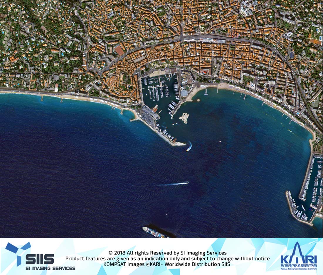
Increased observation frequency and coverage.
We know it's crucial for you to have the freshest imagery, so we are committed to delivering your imagery as frequently as you want it.
Key Benefits
Extensive portfolio of products and tailored services.
Our Virtual Constellation contains a variety of sensors, with resolutions that make them suitable for many different applications.
Best-in-class imagery.
Our quality validation team process all our imagery ensuring that the images you get are analytics-ready, consistent and as accurate as possible.
Increased observation frequency and coverage.
We know it's crucial for you to have the freshest imagery, so we are committed to delivering your imagery as frequently as you want it.
How we take your images.
Getting hold of our imagery is simple. All we need to task our satellites is three pieces of information from you.

Did you know…
TeLEOS-1 completes a single rotation around the globe every 96mins?
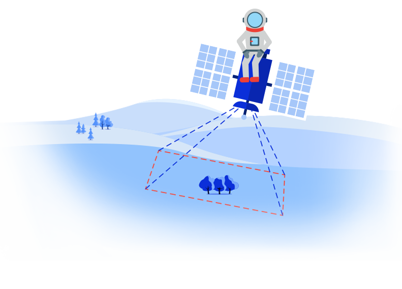
STEP 1 – LOCATION
Your area of interest.
Tell us which areas you are interested in or where your activity or business is located. We’ll use that information to task our satellites to capture that location.
STEP 2 – RESOLUTION
Your resolution or application.
Let us know which resolution you need. If you aren’t sure which resolution would be best, tell us how you want to use the images and we’ll advise you on the best fit resolution.
Our satellites have a range of resolution to suite your business needs, ranging from 0.4m to 20m per pixel
Our SAR satellites gives your 24/7, day & night imaging opportunities, making sure nothing goes unnoticed
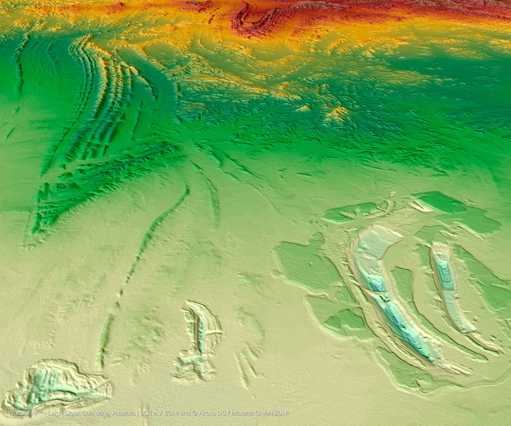
Our satellites can capture accurate Digital Elevation model data and Ground Control Points for your mapping needs
STEP 3 – FREQUENCY
Frequency
Let us know how often would you like us to capture your area of interest. Daily, weekly, monthly, yearly?