Get the most out of your land
Save resources and maximise your yield. Use seasonal monitoring to reveal crop health data which will help you add fertiliser, pesticides and water only where they're needed.
Help your budget go further.
The information our imagery uncovers could help you reduce costs in areas like human resources and site surveillance.
Make the right decision, faster.
Our insights could help you to make better decision to save our planet, like giving you the information you need to act quickly during oil spills and other environmental disasters.
Our Library of Analytics tools
Change Detection
Detect changes such as land use and object changes in Optical or SAR image pairs
Cloud Shadow Removal
Enhance image areas under cloud shadow to recover contrast for visual analysis
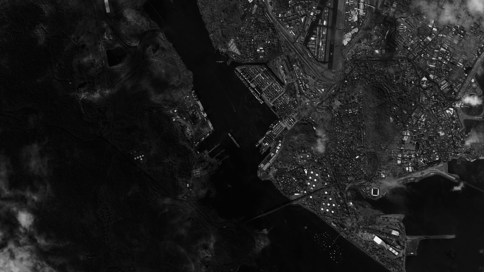
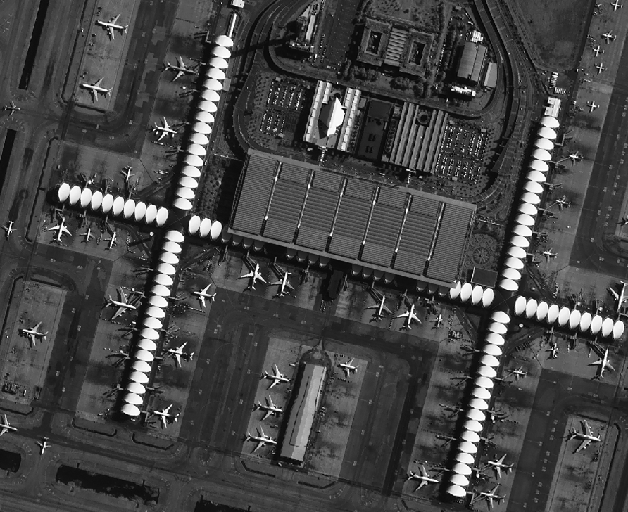
Object Detection
Detect objects of interest such as aircrafts and ships in Optical or SAR image
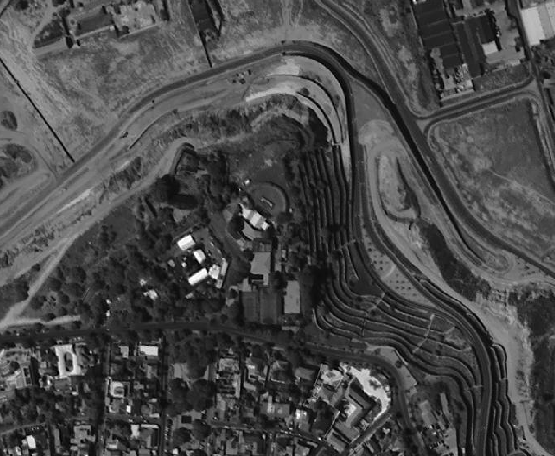
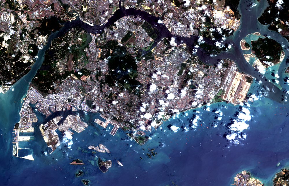
Land Cover Classification
Segmentation of multispectral imagery into constituent classes such as water bodies, vegetation, built-up regions and clouds
Key Benefits
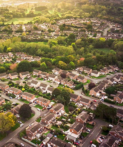
Get the most out of your land
Save resources and maximise your yield. Use seasonal monitoring to reveal crop health data which will help you add fertiliser, pesticides and water only where they're needed.
Help your budget go further.
The information our imagery uncovers could help you reduce costs in areas like human resources and site surveillance.
Make the right decision, faster.
Our insights could help you to make better decision to save our planet, like giving you the information you need to act quickly during oil spills and other environmental disasters.
Our Library of Analytics tools
Change Detection
Detect changes such as land use and object changes in Optical or SAR image pairs
Cloud Shadow Removal
Enhance image areas under cloud shadow to recover contrast for visual analysis
Object Detection
Detect objects of interest such as aircrafts and ships in Optical or SAR image
Land Cover Classification
Segmentation of multispectral imagery into constituent classes such as water bodies, vegetation, built-up regions and clouds