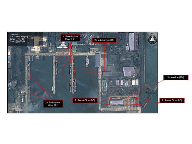
Infra Smart City
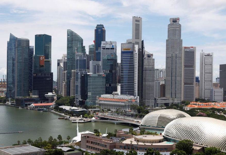
Cities looking to transform into Smart Cities can also benefit from Geo-Insight’s range of remote sensing products and services to make cities smart.
From urban planning to smart cities, Geo-Insights look to remote sensing data and derive insights to aid the industry.
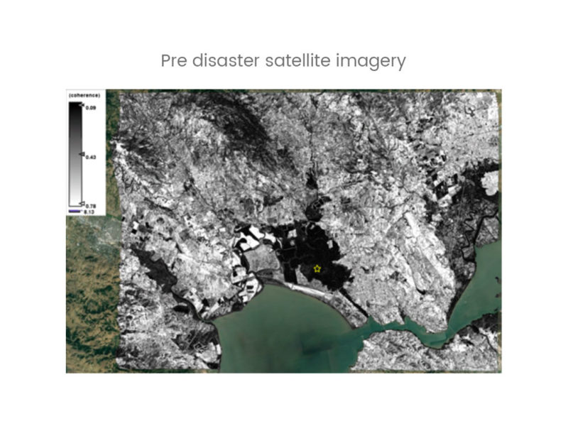
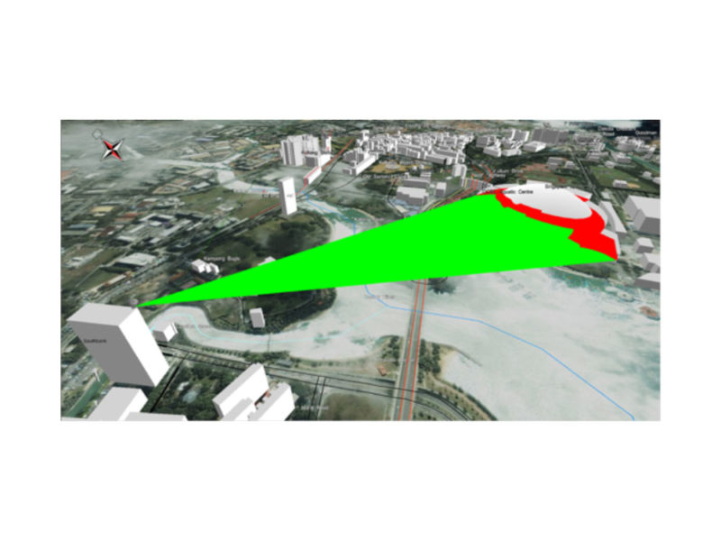
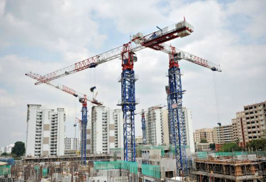
The first step is always to create a imagery basemap and do a overall land classification of the surrounding area. Urban planners can then optimize infrastructure planning based on zoning, terrain elevations, proximity to water bodies & reservoirs to put all these indicators into visualization models capable of running simulations.